
Walk a Cartersville Street
A street-by-street search should begin with a precise postal address, but it should not end there. Bartow County qPublic identifies the taxed parcel and its owner. Its map shows which parcel polygons actually touch, a better test of adjacency than house numbers. The deed index then confirms the legal transfer. Registration and directory sources may add evidence of people connected to the address, yet they do not turn ownership into proof of residence.
- Verify the exact address with USPS, then enter its street number and name in Bartow qPublic.
- Open Map from the parcel card. Click nearby polygons instead of assuming that consecutive numbers are adjoining lots.
- Record the owner, situs address, parcel ID, legal description, sale date, and deed book and page.
- Use Kofile or GSCCCA for the deed index. Ask the Real Estate Division for the official image or certified copy when needed.
- For older occupants, ask the Mulinix Research Center which city or telephone volume includes a street section.
Write the record date next to each name. Cartersville has grown and annexed land, while postal Cartersville can extend beyond the city. A dated by-street result is far more useful than an undated list.
Search Cartersville Streets in qPublic
The Bartow qPublic search is the main free address index. A broad street-name search may return several parcels when the live interface permits it. Inspect each card and its date label. The portal does not claim to list every resident.
| Search field | Use | Format note |
|---|---|---|
| Owner Name | Find parcels tied to a person or entity | Begin with a broad surname or owner string |
| Location Address | Find one address or narrow a street | Use the street number and name |
| Parcel Number | Return to a known tract | Use the county identifier |
| Legal Description | Find indexed subdivision or lot terms | Wording may differ from the postal address |
A parcel card commonly shows owner and mailing address, situs, acreage, values, sale data, deed reference, building facts, and a map link. Fields can vary by parcel.
Cartersville Street Mailing Versus Situs
The situs address identifies the physical property. The mailing address is where the tax office sends correspondence. Matching values can support an owner-occupancy theory, but they do not prove it. A mismatch can point to an out-of-area owner, a business address, or a different mail destination.
- Parcel
- A tract tracked under one county identifier.
- Situs address
- The physical location assigned to the taxed parcel.
- Plat
- A recorded drawing of lots, roads, boundaries, or easements.
- Criss-cross directory
- A directory arranged by street or telephone number rather than only by surname.
Keep these labels intact in notes. Changing “mailing” to “home” creates a claim the source never made.
Map Cartersville Streets by Parcel
The Bartow parcel map supports a visual walk along a road. Locate the first parcel, select its polygon, zoom until parcel lines and roads are clear, then click each nearby polygon and follow its property-record link. The researched public interface did not confirm a radius or buffer tool, so click-adjacent browsing is the reliable method.
Corner lots, rear parcels, shared drives, and multi-parcel ownership often break a simple house-number sequence. Parcel IDs and legal descriptions establish which tracts touch. Map geometry says nothing about who is inside a building, but it prevents false assumptions about the shape of a Cartersville block.
Follow Cartersville Street Deed References
A parcel card is a pointer, not the legal conveyance. Carry its deed book and page into the GSCCCA search gateway or Bartow's Kofile QuickLink index books. In a deed, the grantee receives the interest and the grantor conveys it. To move backward, search the current seller as a grantee before the later sale and repeat while keeping the same parcel or legal description.
Kofile offers round-the-clock access to historical index books. GSCCCA covers statewide real-estate, lien, and plat indexes under its account and transaction rules. Bartow has not published one comprehensive online image cutoff. When the web trail stops, call the Clerk of Superior Court at 770-387-5025, extension 4, email clerksoffice@bartowga.org, or use the courthouse public terminal. Bring the parcel ID, names, date span, and book/page.
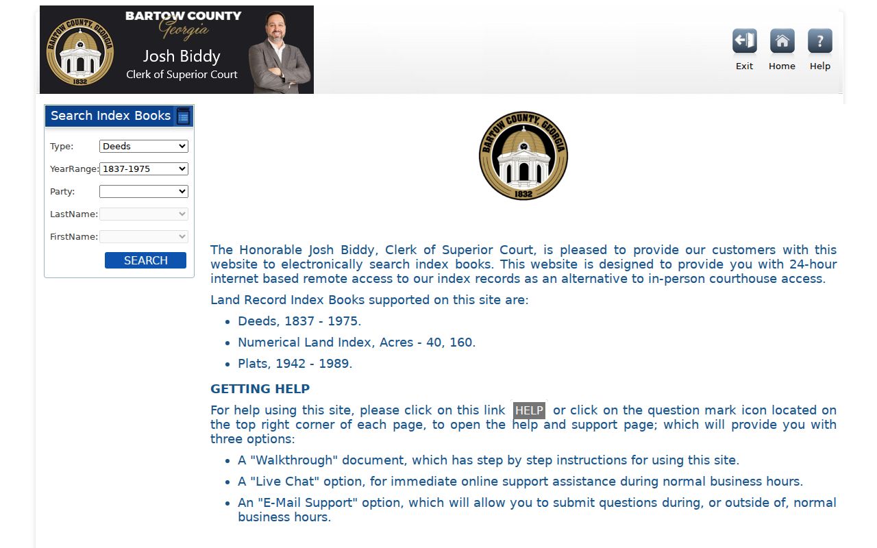
The captured historical index gateway shows the route into Bartow's older books.
Request Cartersville Permit History
No open city permit index searchable by address was located. Planning and Development holds likely permit, inspection, certificate of occupancy, zoning, and code records, while the City Clerk handles written requests. Ask for existing records tied to one exact address or parcel and a clear date range.
Send a general request to orr@cityofcartersville.org, deliver it to 10 N. Public Square, second floor, or mail it to City Clerk, PO Box 1390, Cartersville, GA 30120. Electronic copies begin at the published standard rate when applicable, and lawful search or redaction costs may apply. Georgia agencies ordinarily respond within three business days by producing records, giving a timetable, or citing an exemption.
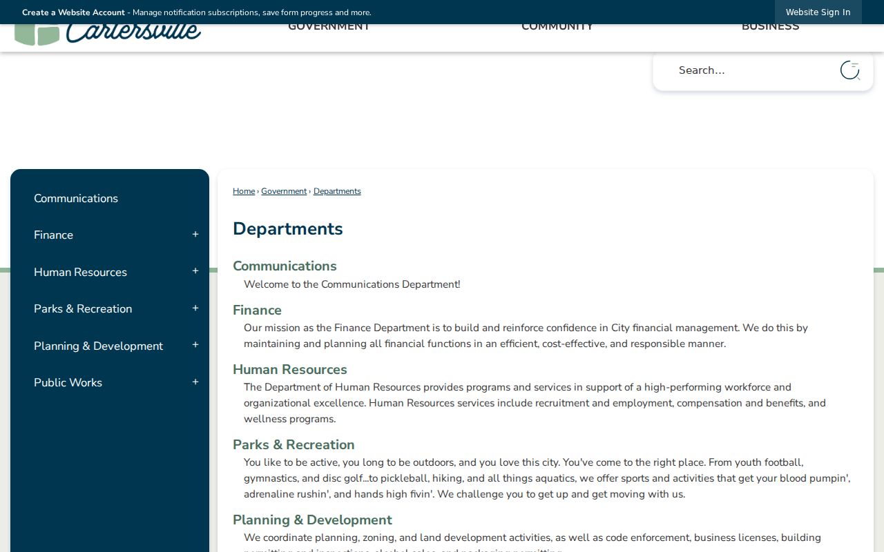
The Cartersville Planning and Development page is the correct department entry point.
Cartersville Street Directory Sources
Each address-keyed record answers a different question. The following coverage table keeps property, geometry, filing, registration, and historical evidence from being blended into one unsupported household claim.
| Record Set | Keeper | What It Shows | Access |
|---|---|---|---|
| Assessment parcel | Bartow Board of Assessors | Owner, mailing and situs, parcel, sales | Free qPublic |
| GIS parcel map | Bartow GIS | Boundaries and adjacent parcels | Free viewer |
| Deeds, liens, plats | Superior Court Clerk | Parties, dates, legal land identity | Kofile, GSCCCA, counter |
| Voter file | Georgia SOS | Public registration address fields | Paid official file |
| Permits | Cartersville Planning | Work, applicant, contractor, dates | Written city request |
| Telephone and city directories | Mulinix Research Center | Listed historical subscriber or occupant | Visit or archivist request |
The parcel ID joins the assessor card to GIS. Book/page and legal description join the parcel to deeds and plats. A street address can join permits and directory entries only for the date each source was made.
Voter Data Is Not Street Browse
Georgia My Voter Page is an identity-gated way for a voter to check personal status, precinct, districts, polling place, sample ballot, and participation history. It cannot browse a Cartersville block. State law makes voter names and addresses available through official list orders, but protected addresses and sensitive fields stay withheld.
A municipal Cartersville file was listed at $65 and a Bartow County file at $70 in the researched July 2024 schedule. Orders are prepaid, emailed, normally take about two weeks, and are not expedited. Participation history never reveals a vote choice. A registration address is dated registration evidence, not proof that the person is now present.
Read Older Cartersville Streets
The Mulinix Research Center holds city directories and telephone directories from the 1940s through the 1990s. Exact city-directory years and true reverse or criss-cross sections were not published. Ask the archivist for a shelf list with titles, years, gaps, publishers, street sections, and copy rules before visiting.
Research is available at 1 N. Gilmer St., Monday through Friday, 10 a.m. to 4 p.m., by phone at 770-382-3818 extension 7353, or by email at smcbride@bartowhistorymuseum.org. The Cartersville city directory collections deserve a separate historical search once a modern address trail reaches the shelf.
No official citywide street-renumbering date was found. Use the legal description, recorded plats, the May 1895 Sanborn sheets, and modern parcel geometry when an old label does not match today's address.
Cass County Street Record Roots
Bartow County began as Cass County, so early grants and record headings may use the older county name. The area's 1832 land-lottery setting also explains why grants and deeds matter in long address histories. Museum loose grants and deeds from roughly 1850 to 1880 may be unique.
This history is useful even for a modern street directory. A current legal description can lead back to plats and land records whose catalog language predates Bartow. Search both county names, and let the legal land identity carry the trail when the road name has changed.
Check Cartersville Address Jurisdiction
A postal line reading Cartersville does not prove that the parcel lies inside city limits. The city's census geography covers 28.62 square miles, while the 30120 and 30121 delivery areas can cross government boundaries. Confirm the exact ZIP through USPS, then use the qPublic parcel card, tax district, and GIS context to decide which office likely holds a permit or other local record.
Cartersville's 30120 ZIP broadly orients toward downtown and west or south delivery areas. The 30121 ZIP broadly orients toward north and east Cartersville and the I-75 corridor. These are delivery descriptions, not legal boundary lines. No official ZIP-wide qPublic filter, local ZIP boundary map, or citywide renumbering date was verified, so search the exact street or parcel rather than simulating a ZIP resident list.
Cartersville Street Directory Limits
No public roll comprehensively lists renters, children, every household member, or each person currently inside a Cartersville home. The assessor names owners. Deeds name parties to a land filing. Voter files omit nonvoters and protected data. Permits name people in dated project roles. Directory volumes omit unlisted households and have year gaps.
Motor-vehicle address data is restricted by federal law. Utility customer information should not be treated as a public street list unless the custodian identifies a lawful public portion. Georgia's Address Confidentiality Program uses substitute addresses for eligible survivors, and those protections must not be defeated.
Lawful use. Use Cartersville address records only for lawful personal research. Never use a street directory to stalk, harass, intimidate, or expose a protected person.